Welcome,
Come explore some of what sparks my curiosity most...
My Geospatial Portfolio
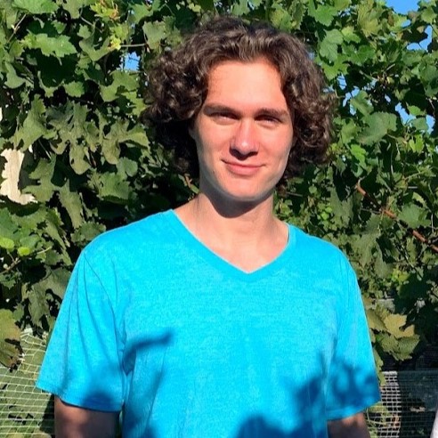
Hello, my name is Evan and I am a GIS Specialist based in the New York City Metro Area.
My passion for maps emerged out of my curiosities in childhood. Growing up surfing, swimming, and exploring the beaches of
North Carolina ignited my interests in comprehending my environment and the creatures that live within it.
Pursuing these hobbies often required loading up meteorological data on the internet, which could be understood best by vieiwng the online maps available to me.
Carrying my interests into university, I decided to base my mapping projects on environmental and ecological phenomena of concern.
Centralizing my GIS projects on the natural world has been incredibly insightful and rewarding, and it is why I believe maps
are our window into the future. I hope you enjoy exploring some of my research below.
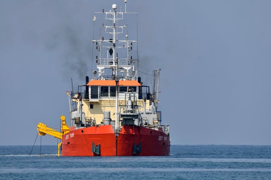
Coastal Vulnerability Index (CVI) of the East River - Moriches Bay - Maps
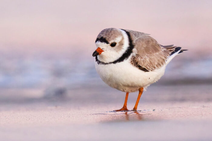
Coastal Vulnerability Index (CVI) of the East River - Moriches Bay - Research
About Me
I am a Stony Brook University alumnus with a BS in Human Evolutionary Biology and a minor in Geospatial Science. I am passionate about cartographic design, geospatial information systems (GIS), computer-based biostatitsics, coding, and conservation biology. My passions derive from watching nature documentaries since childhood, such as Steve Irwin's iconic The Crocodile Hunter. I grew up along the beaches of Southeastern North Carolina where I would spend my time surfing, learning, and adventuring. I subsequently moved to New York to pursue my degree and to further explore our beautiful world.
Contact
Please do not hesitate to reach out to me about any inquiries or general curosity you may have. I am eager to answer all questions regarding GIS and remote sensing. I would also enjoy to enter any thought-provoking converations regarding some of the facets of these vital technologies. The best ways to reach me are:
- Email: evanlassiter00@gmail.com
- LinkedIn: My Profile
